By: Rogel Fierro Nickel, Gearbox Ecosystem Manager – Faculty of Engineering / rogfierro@udec.cl.
Images: Courtesy of Gearbox.
Leer en español
Crews walking through hectares of land, counting trees, extrapolating these figures, and estimating an amount over the total area; this is how inventories are currently carried out in forestry lands. Besides being impractical in some hard-to-reach areas, this method generates errors in the estimates.
Faced with the limitations of traditional methods, the need for more precise, efficient, and scalable solutions arises. In this context, technology offers a transformative alternative, allowing one to overcome the challenges of the terrain, reduce the margins of error, and obtain accurate information about these plantations’ extensions.
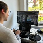
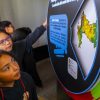
GAIA TECH is on this path with its first service, Deep Hub, an artificial intelligence-based platform for analyzing geospatial data. This platform can be used for various purposes, such as providing technical support in the monitoring and management of forests and natural resources.
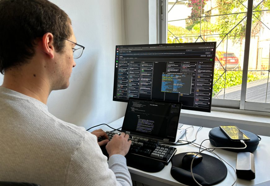
What is GAIA Tech? This company is in the process of becoming a spinoff from the University of Concepción. It was born from a project developed by the Data and Artificial Intelligence Center (CDIA, in Spanish) of the Faculty of Engineering. The people behind the development of Deep Hub are Karla Cerda Otárola, CEO; Manuel Pérez Carrasco, CTO; Guillermo Cabrera Vives, and Simón Sandoval Rocha, co-founders and part of the Scientific Committee.
Karla Cerda, CEO of GAIA TECH, says the idea came from a problem presented to CDIA by a forestry company. “They had a problem related to the inventory management of their patrimony, namely, counting trees. From this, we developed a platform that takes drone images, to which we gave tags, which in this case were the trees, to teach artificial intelligence models, and that they would then be able to predict the objects over the entire image, thus facilitating inventory management.”
In her words, the team can “use geospatial data and artificial intelligence models to provide accurate information about the environment, ecosystem, and natural resources, and, with this, allow better decisions to be made based on this information that we are giving you.” In this way, Karla Cerda specifies: “We can count trees on an image, through drone or satellite images, as well as soil segmentation or anomaly detection.”
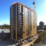
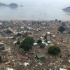
Regarding future uses that this technology could have, she explains that others have been thought of, such as infrastructure monitoring for the vertical and horizontal growth of cities, and monitoring the effects of earthquakes. In other areas, such as agriculture, it could also be applied for crop monitoring, following the example of what is done with Deep Hub. “We are open to analyzing and developing new projects,” said the CEO of GAIA Tech.
Incorporating artificial intelligence into environmental monitoring represents a significant advance in the accuracy and efficiency of natural resource management. Platforms like Deep Hub can automate complex processes such as tree counting or soil segmentation, facilitating informed and sustainable decision-making.
Last modified: 3 de septiembre de 2025